Overview
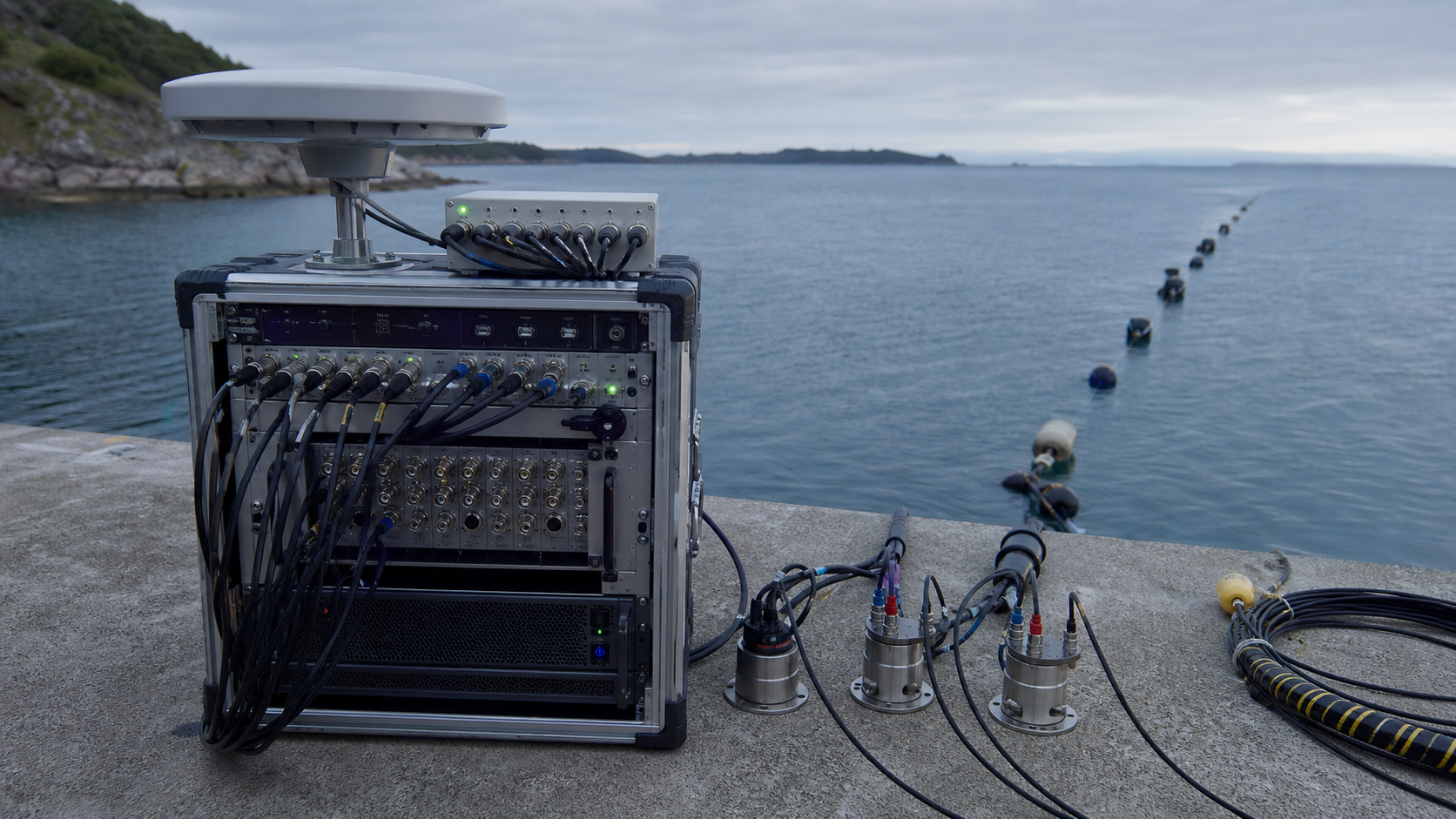
H11 WAVEGRID is a modular instrumentation network derived from H11 research into sonar, radar, vibration-based navigation, and wave-field reconstruction.
 H11 Systems
Wave-field mapping and navigation network
H11 WAVEGRID™
WAVEGRID combines acoustic, hydroacoustic, radar, and vibration channels into one time-aligned field map for navigation and condition awareness where conventional vision is limited.
Works beyond camera visibility
Combines multiple physical modalities
Built around measurable signal relationships
System Overview
H11 WAVEGRID is a modular instrumentation network derived from H11 research into sonar, radar, vibration-based navigation, and wave-field reconstruction.
It captures propagating signals across distributed stations, calculates arrival, intensity, and frequency relationships, and reconstructs a spatial representation of objects, boundaries, and changing conditions.
Calibrated emitters and receivers share precision timing through field hubs. Signal fusion aligns observations by location and confidence before producing an inspectable map and event record.
Capabilities
Each page below is derived from the whitepaper content in the workspace and reframed as a deployment-facing product profile for H11 Systems.
Passive and active wave sensing
Multi-station time synchronization
Acoustic, radar, and vibration fusion
Confidence-scored spatial reconstruction
Field-replaceable sensor modules
Wave-field stack
Precision-timed sensing stations
Configurable signal-processing modules
Spatial reconstruction engine
Recorded measurement provenance
Applications